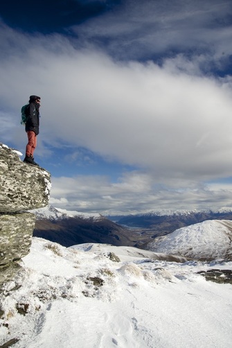
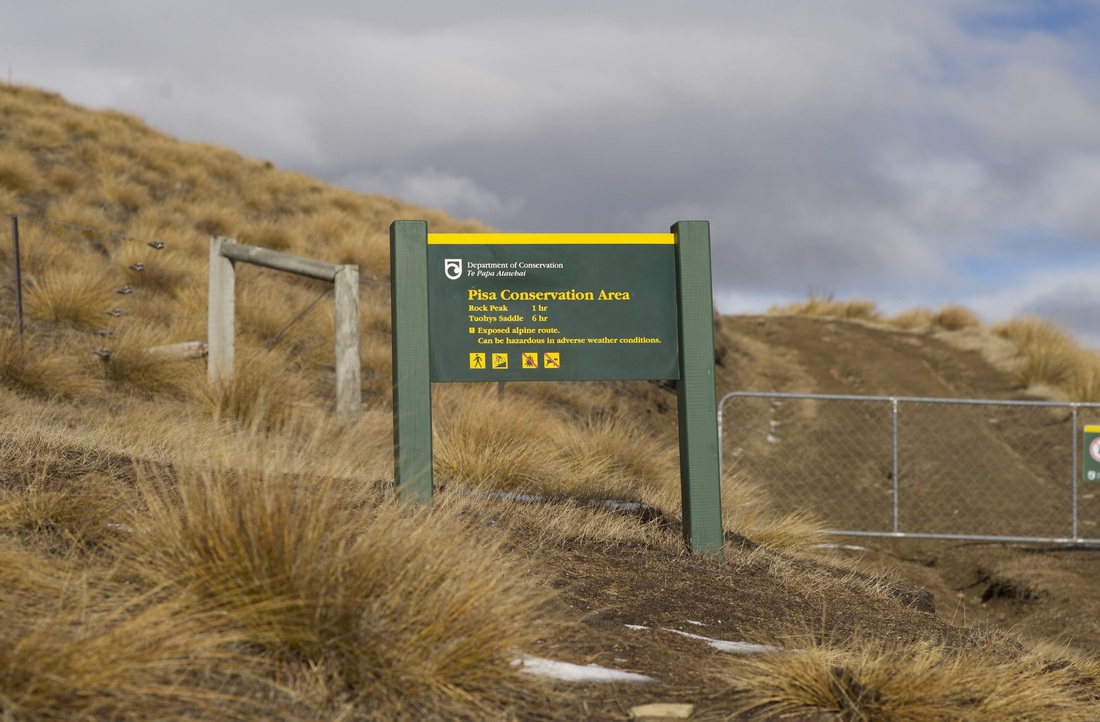
If you stop for a picture (or a free overnight camp) at the Crown Range Summit carpark, it is worth taking a hike up the track leading to Rock Peak.
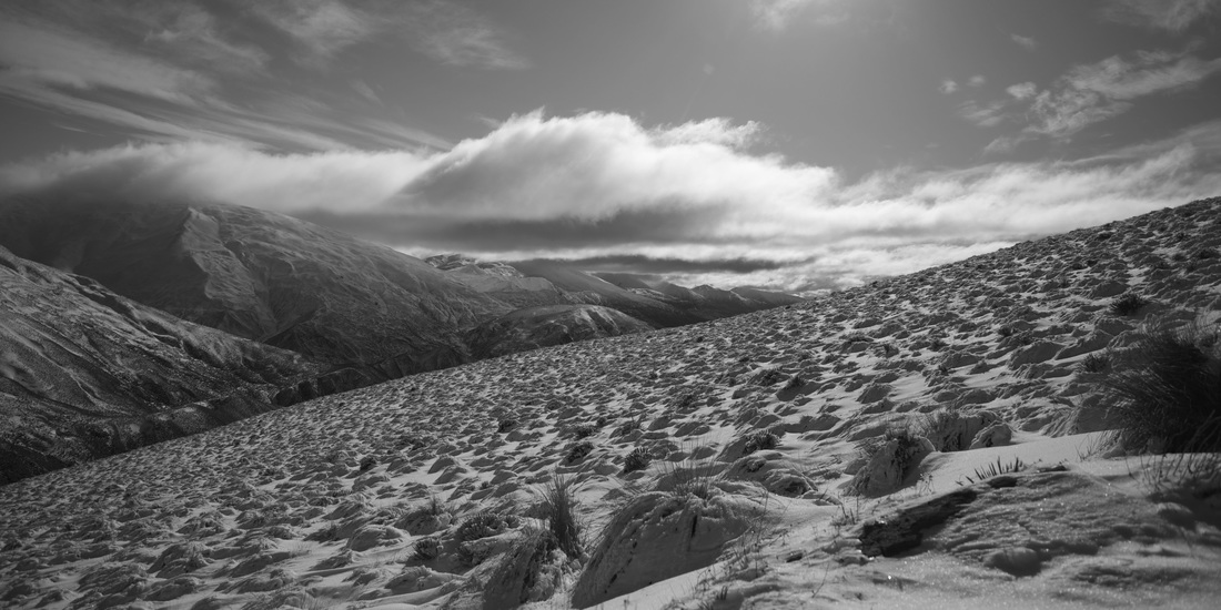
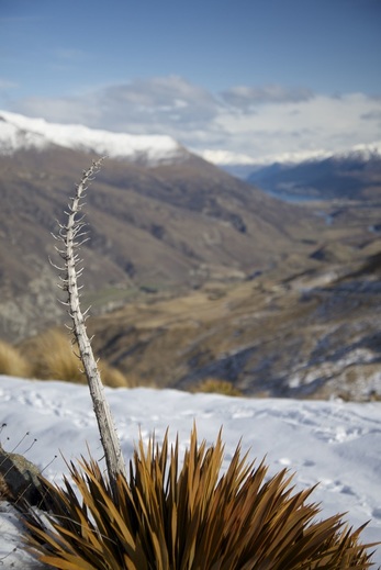
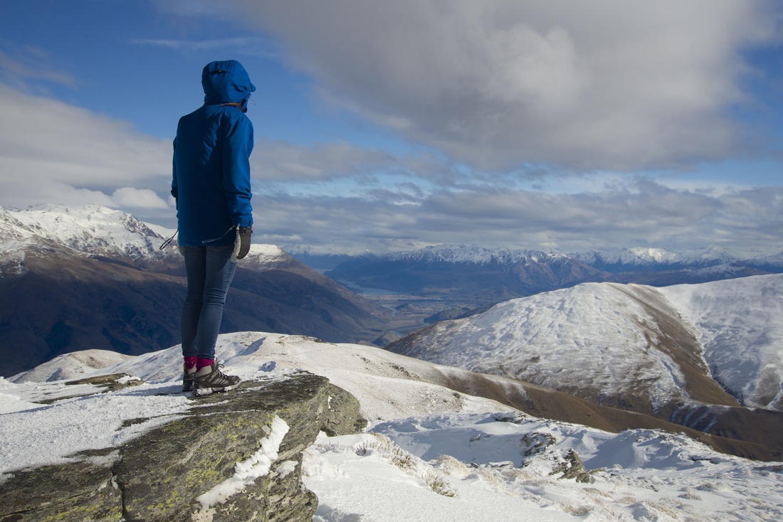
Most people only go a couple of hundred metres into the Pisa Conservation Area, but if you continue the whole way, it makes for yet another incredible view- a panoramic actually as it encompasses the Kawarau River Gorge, Queenstown and the Crown Range pass.
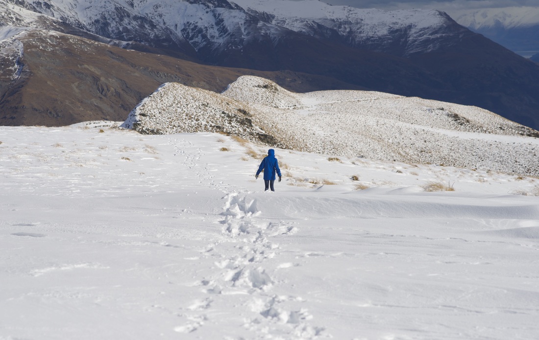
As it had recently snowed quite considerably, the trek, which would normally take up to an hour one way, took us close to two. There were pockets of deep snow drifts and the wind was really strong.
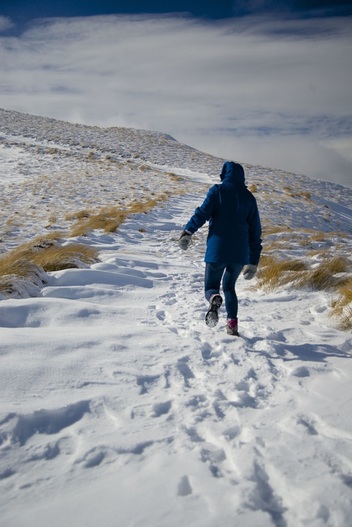
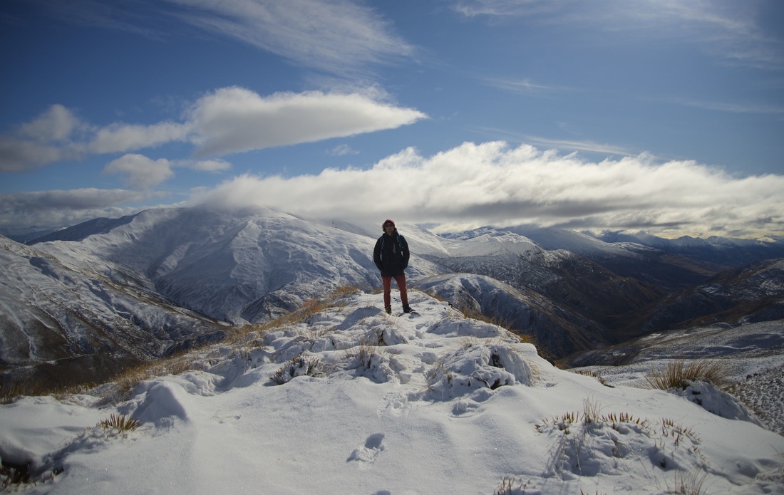
It traverses very exposed areas so the wind rips up through the Crown Range pass. There is one small section of narrow ridge walk which could be dicey, however this is the only part helpfully shielded from the wind (by a large boulder that I was convinced was going to topple onto me).
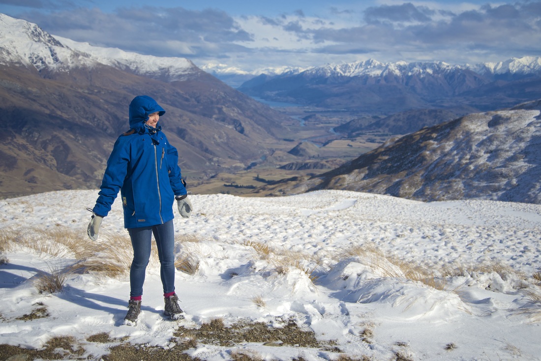
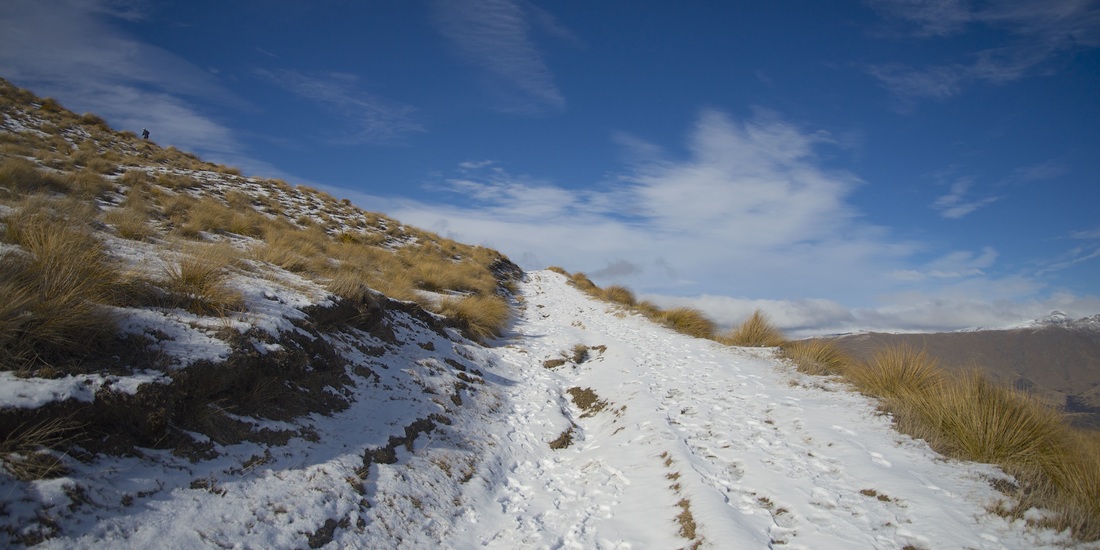
It's only about a 400m rise and the track is gentle and easy going. I imagine much easier in the summer. There was only one set of footprints in the snow to guide us the way!
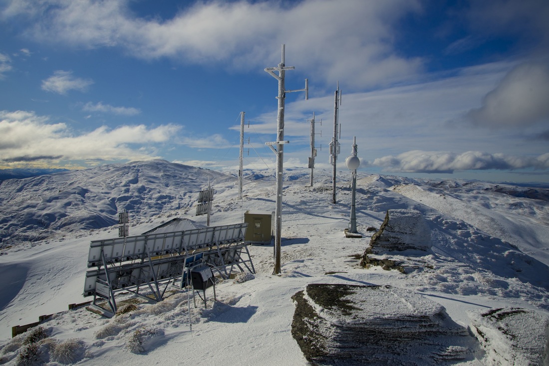
At the top is a navigational transmitter station which was a bit eery when we got there as chunks of snow kept dropping off the pylons and making big thudding noises. The rocky outcrops were perfect for picture taking.
The way back was much quicker- it follows the same path, however we found it easy to almost hyperextend our knees in the deep snow, so caution was still necessary!
If you have a couple of hours spare, and the weather doesn't look like it will be coming in, don't just take a picture on the Crown Range Summit, get up to Rock Peak.
Reference material: Department of Conservation
Reference material: Department of Conservation
 RSS Feed
